
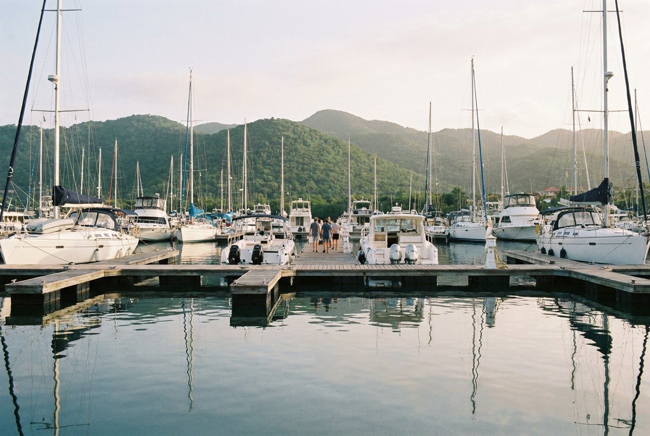
Puerto Rico, seen from the water
North-east of San Juan the island breaks into bays, mangroves and cayes, with Culebra and Vieques out on the horizon. These pages follow that water: where boats leave from, which bays glow at night, how to reach the islands and what the reefs hold.
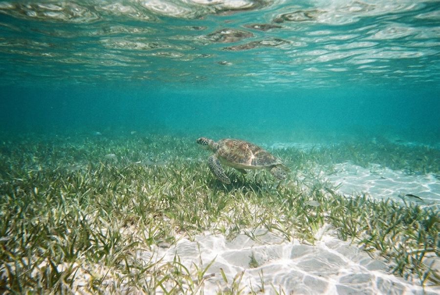
Four charts of the coast
The Fajardo coast
Marinas, a glowing lagoon, a lighthouse reserve and the ferry terminal on Puerto Rico's north-east corner.
Fajardo, the east coast's boating townLaguna Grande, the bay that glowsCabezas de San Juan and the 1880s lighthouseGetting to Culebra and ViequesCulebra and Vieques
Culebra, Culebrita and Vieques: beaches, refuges, a bright bay and the old Navy land.
Culebra and Flamenco BeachCulebritaMosquito Bay on Vieques after darkVieques beaches and the wild horsesOn and under the water
The cayes, the reefs, a week aboard a moored boat and the season of storms.
Icacos and the La Cordillera cayesSnorkelling the east coast and its islandsLife on a moored boat for a weekHurricane season on the east coastBack on land
The rainforest behind the coast and the beach below it.
El Yunque from the coastLuquillo Beach and the row of kiosks
On holidays and long weekends, ferry seats sell out quickly; residents and cargo have priority on some sailings.
From the notes on Getting to Culebra and ViequesAfter dark and under the surface
 Laguna Grande, the bay that glowskayak
 Icacos and the La Cordillera cayessmall boat
 Mosquito Bay on Vieques after darkkayak
 Snorkelling the east coast and its islandssmall boat